

Locate hidden drainage assets
Trace the route. Record the depth. Build a usable site picture.
When plans are missing or unreliable, CCTV and sonar tracing can connect what is visible above ground with the network below it. We locate accessible routes, identify connections and document the findings for the next stage of the project.
Call 0800 246 5706drain sonar tracing
Better information before design or excavation
Historic sites often contain undocumented changes, redundant branches or connections that do not match available drawings. Tracing helps reduce uncertainty by following the accessible route and recording where key features sit in relation to the surface.
Sonar tracing is an evidence tool, not a substitute for statutory utility records or safe digging procedures. We state the scope and limitations clearly so the findings can be used alongside the other information required by the project.
Defined scope
Useful mapping evidence
The exact output is confirmed with the quotation so the work remains aligned with the intended use.
How the work is organised
Connecting the surface to the network below
Each stage keeps the site information, field work and final output connected.
Brief
We establish what must be located and how accurate the site record needs to be for the intended use.
Trace
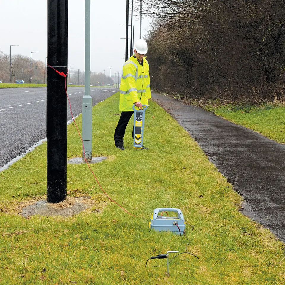
A sonde and receiver are used with the inspection equipment to follow accessible underground routes.
Reference
Locations and depth readings are recorded against visible features or the supplied site plan.
Present
The route evidence, footage and limitations are brought together in a usable digital package.
Practical detail
CCTV Asset Mapping and Sonar Tracing
When plans are missing or unreliable, CCTV and sonar tracing can connect what is visible above ground with the network below it. We locate accessible routes, identify connections and document the findings for the next stage of the project.
Request a quotationQuestions about this service
CCTV Asset Mapping and Sonar Tracing FAQs
How does sonar drain tracing work?
A transmitting sonde is moved through an accessible pipe while a surface receiver follows its signal and records the route and approximate depth.
Can you trace every pipe on a site?
Tracing depends on safe access, pipe condition, route geometry and the ability to move suitable equipment through the system. Limitations are recorded.
Can you add the route to my drawing?
Where a suitable plan is supplied, traced information can be referenced or marked up to the agreed level of detail.
Is the depth reading exact?
The receiver provides an indicative depth under suitable conditions. Surface materials, signal interference and pipe access can affect readings.
Can mapping be combined with a condition report?
Yes. CCTV condition evidence and sonar route data can be combined within one agreed scope.
Other specialist services
Related survey work
Choose the service that best matches the decision, system or site requirement.
Pre-Purchase and Homebuyer Drain Surveys
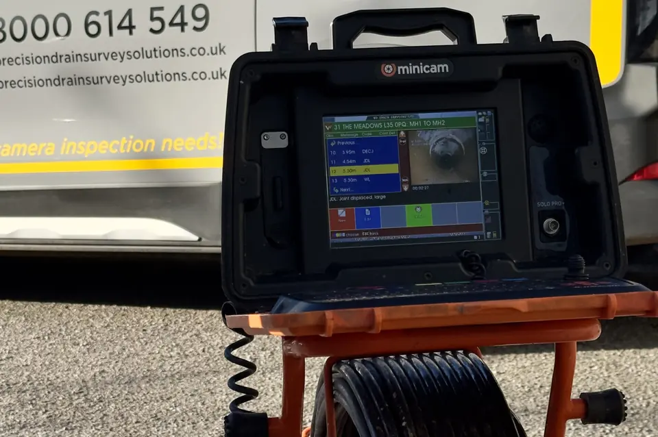
Pre-purchase and homebuyer drain surveys with CCTV evidence, condition findings and a clear written report for buyers, mortgage surveyors and conveyancers.
View service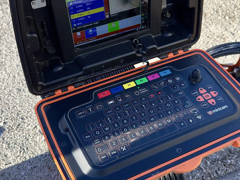
Build-Over Agreement Surveys
CCTV build-over agreement surveys for homeowners, architects and builders planning near public sewers, with clear pre-work and completion evidence.
View service
Commercial and Site Handoff Surveys
Commercial CCTV surveys and construction site handoff reports for civil engineers, block managers, developers, facilities teams and contractors.
View service